Busy roads on a dog walk: what the traffic counts say
We mark a road busy from the Department for Transport's counts, treat an unposted limit on a main road as 60 mph because that is the law, and refuse any walk that runs more than 60 metres beside a 60 mph road with no pavement.
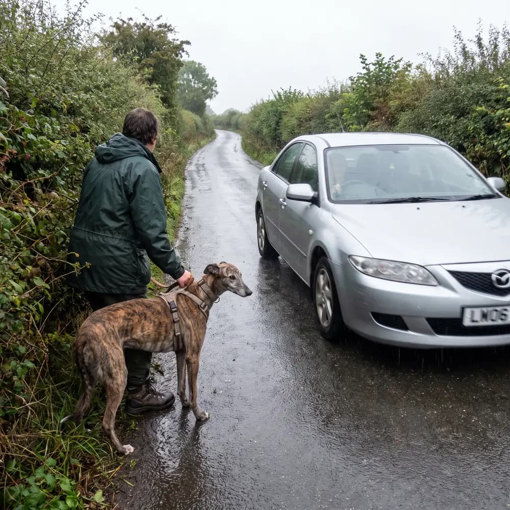
On 18 August 2026 two walkers in Harrogate described the same walk to me. One said: "one section is a 60 mph road with no footpath". The other said: "black is road, but they're good local roads at 20/30 mph". Both were right, and the app had scored that walk as zero per cent busy. It was counting cars, and a fast lane with no count point on it and no pavement beside it came out quieter than a 20 mph street with a pavement on each side. For a dog on a lead the danger was never the number of cars. It is speed, and having nowhere to step off. Here is what we read now, in the order it learned to read it.
Counting cars
The Department for Transport publishes a traffic count for thousands of points on the road network, under the Open Government Licence. Each is an annual average daily flow: the average number of vehicles passing that point in a day, over a year. It comes from about 7,000 roadside counts a year, taken by trained counters or cameras over twelve hours, from seven in the morning to seven at night, on weekdays between March and October. Read 26 September 2026. Road traffic statistics, Department for Transport.
We hold those count points for every county in England and every area in Wales, and sorts them into four bands: under a thousand vehicles a day is quiet, under five thousand moderate, under twenty thousand busy, and more than that very busy. When a walk passes within 30 metres of a count point carrying six thousand vehicles a day or more, the walk is marked as beside a busy road, and the card says the road is busy because it was measured, not because of its colour on the map.
Why a count is not enough
Count points sit on main roads. A country lane has none, so a count can only ever say a road is busy. It cannot say a road is quiet, and it says nothing about how fast the traffic on it moves. That is the gap the Harrogate walk fell through, and closing it meant reading the law rather than the counts.
The speed the law assumes
Under the Road Traffic Regulation Act 1984 a road is a restricted road, limited to 30 mph, where it has a system of street lighting with lamps not more than 200 yards apart. Everywhere else the national speed limit applies unless a lower one is signed: 60 mph on a single carriageway. Read 26 September 2026. Road Traffic Regulation Act 1984, section 81 and section 82.
The map we read is OpenStreetMap, and its volunteers record a speed limit on some roads and not others. In North Yorkshire, measured on 18 August 2026, three in five minor roads carried no limit at all. So the app uses the law's own default. A posted limit is believed first. Where nothing is posted and the road is unlit, the road is treated as a 60, because that is what it is. Only when the app is choosing a route does a lit but unposted road count as a 30, since the law says it is one; when the app is judging a walk it assumes the worse case, because the reassuring reading of missing data is the one that gets somebody hurt.
Two more rules keep this honest. The speed test looks only at through roads, the A roads, B roads and the yellow roads on an Ordnance Survey map, because a single-track lane in the East Riding is legally a 60 and in practice a lane, and counting every lane flagged four walks in five. And motorways and trunk roads are always fast whatever the map says. OpenStreetMap copyright and licence.
The pavement nobody recorded
A pavement is the whole difference between a road you walk beside and a road you walk in. OpenStreetMap has a tag for it, in four spellings, and a pavement on either side counts, because you can cross to reach it. But the tag is missing far more often than it is present. Measured on 26 August 2026, a pavement was recorded either way on about 45 per cent of through roads in North Yorkshire, 29 per cent in South Yorkshire, 25 per cent in West Yorkshire and 17 per cent in the East Riding.
Silence is read as no pavement. That is the cautious direction and it is the right one. But it is not a measurement, so when a walk is refused for a fast road and most of that road has no pavement recorded either way, the refusal says so in those words: "pavement not recorded". I would rather tell you we do not know than tell you there is nothing there.
What we refuse, and what it only marks
A walk is refused outright, for everyone, when it runs more than 60 metres unbroken beside a 60 mph road with no pavement, or more than 200 metres of it in total. Beside a 50 mph road the limits are 100 metres unbroken and 400 in total. Those metres only count where the walk is within 15 metres of the road and not on a mapped path or pavement, so a footbridge over a motorway or a pavement beside a ring road is not exposure. Sixty metres unbroken sits just above what a plain crossing of a road measures, so a walk may cross a fast road and may not walk along one. Measured on 21 August 2026 across every live walk we held, the 60 mph rule alone refused about 15,500 walks, nearly a quarter of them.
The numbers
| Longest unbroken stretch (m) | Walks |
|---|---|
| 0 to 20 | 439 |
| 20 to 40 | 3,802 |
| 40 to 60 | 4,760 |
| 60 to 80 | 2,178 |
| 80 to 100 | 1,401 |
| 100 to 150 | 2,162 |
| 150 to 200 | 1,468 |
| 200 to 300 | 2,343 |
| 300 to 500 | 2,769 |
| 500 to 1,000 | 2,523 |
| over 1,000 | 631 |
A 40 mph road, and a 30, are never refused. They are marked on the card and they answer to what you told us at sign-up about how your dog is when traffic passes close. A road nobody should be offered is a rule; a road some households mind and some do not is a preference.
We also stops building most of those walks in the first place. Before a route is drawn, the 50 and 60 mph roads without a pavement are handed to the route-finder as ground to keep off. On the same twenty starts in West Yorkshire that cut refusals from nine in twenty to four in seventeen and the worst unbroken stretch from 675 metres to 187, with the walks no longer than before. A walk can still be pushed onto a different fast road, which is why the refusal stays and the avoidance never replaces it.
What it cannot see
A verge. We read pavements and paths. It does not read verges, so a lane with a wide grass verge and a lane with a hedge tight to the tarmac read the same, and both read as having nowhere to step off.
A Sunday in December. A count is an annual average taken on weekdays in the lighter half of the year, and a speed limit is a sign. Neither says what a road is like at half past three on a winter afternoon. We never says a road is quiet at a time of day on the strength of a count; only a walker who was there can say that, and we wait for them.
Where our data comes from lists every source behind this, with its licence.
Questions this answers
- How does Trekosa know a road is busy?
- From Department for Transport counts of the vehicles passing a point each day, sorted into four bands. A walk within 30 metres of a count of six thousand a day or more is marked as beside a busy road.
- Will the app send me along a 60 mph road?
- Not along one. A walk running more than 60 metres unbroken beside a 60 mph road with no pavement, or more than 200 metres in total, is refused for everyone. A walk may cross one, because a crossing measures under 60 metres.
- Why does a refusal say pavement not recorded?
- Because nobody has mapped whether that road has a pavement. Silence is read as no pavement, which is the cautious direction, but it is not a measurement, so the refusal says which it was.
Read next
- What makes a walk hardWalking a reactive dog: the first step out of the doorWhat owners of reactive dogs say they need from a walk, in their own words, what the app asks and checks before it suggests one, and what it cannot know.
- What makes a walk hardCows and dogs: why cattle follow a dog, and what to doCattle see a dog as a threat, most of all cows with calves. What the Health and Safety Executive and the Countryside Code say, and what to do if cows charge.
- What makes a walk hardDogs near sheep and cattle: the law when you are walking a dogWhat the law says about dogs near sheep and cattle in England, Wales and Scotland, what changed in March 2026, and how the app knows a field is grazed.