Updated
Thirty-six sources: how a walk is checked before you see it
Every walk is measured along its line against every map we hold before anyone sees it. This page lists those maps from the same file the app reads, so it cannot be out of date.
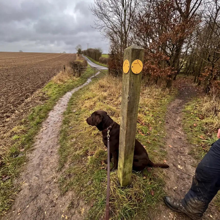
When we say a walk has been checked, it means one thing. Before anyone sees the walk, its line was measured against every map we hold: where it runs beside a road, what kind of ground it crosses, what stands on it, and whose rules apply there. This post lists what that map is made of. Some of what is listed is drawn for you to see rather than checked against: the beaches, ferries, fords, waterfalls, named routes and the sand and mud of a coast are on the map so you can find your way, and the beach rules are the council's own, with the date we read them. The list below is read from the same file the app's own sources page reads, so the two cannot disagree, and the number in the title changes by itself when a source is added or removed.
The map itself
What you are looking at when you look at the map.
- Ordnance Survey Leisure mapping, published by Ordnance Survey, under the Ordnance Survey licence terms. The base map, at the 1:25,000 Explorer detail walkers already read.
- Esri World Imagery, published by Esri, Maxar, Earthstar Geographics, and the GIS User Community, under the ArcGIS Location Platform terms of use. The aerial view, when you switch the base map to it.
- OS Open Greenspace, published by Ordnance Survey, under the Open Government Licence v3.0. The names of some parks and playing fields that OpenStreetMap leaves unnamed.
- OS Open Names, published by Ordnance Survey, under the Open Government Licence v3.0. The names of some woods that OpenStreetMap leaves unnamed.
- OS Terrain 50, published by Ordnance Survey, under the Open Government Licence v3.0. The hill shading and the contour lines on the Trekosa map, and the climb shown on each walk.
- OpenStreetMap, published by OpenStreetMap contributors, under the Open Database Licence (ODbL) 1.0. Paths, tracks, roads, woodland, water, parks, gates and stiles, car parks, bins, toilets and drinking water.
Where you are allowed to walk
The legal picture, which is the part no amount of crowd-sourcing can settle.
- Definitive Maps of public rights of way, published by County and unitary councils, under the Open Government Licence v3.0. Footpaths, bridleways and byways, and the legal right to be on them. A walk that has no lawful access is not offered at all.
- Open access land (CRoW), published by Natural England, under the Open Government Licence v3.0. Ground you may walk away from a path on, and the rules that come with some of it: land where dogs are not allowed, and times when they must be on a lead.
- Open Country (access land in Wales), published by Natural Resources Wales, under the Open Government Licence v3.0. Ground you may walk away from a path on in Wales, where Natural Resources Wales publishes it.
- Woods For All, published by Forestry Commission, under the Open Government Licence v3.0. Woodland that is open to walk in, either by law or because the owner allows it. Where a walk is only open by permission we say so, because permission can be withdrawn and a right cannot.
- England Coast Path, published by Natural England, under the Open Government Licence v3.0. The coastal route, where it is not already a right of way we hold. The path moves when the shore does, so we tell you to follow the signs on the ground rather than the line on the map.
- Public spaces protection orders, published by District and borough councils, under the Public documents. The reading and the collation are ours. Where dogs must be on a lead, and where they may not go. We read the sealed orders line by line rather than their titles, and we record which councils we have surveyed, so ground we have not checked says so instead of reading as unrestricted.
- Beaches and their dog rules, published by OpenStreetMap contributors for the beach outlines; the councils' own orders and byelaws for the rules, under the Open Database Licence (ODbL) 1.0 and the Public documents. The reading and the collation are ours. Where a beach is, and what a council's order says about dogs on it, with the date we read it and a link to it. A beach whose rule we have not read says so, and is never shown as free of rules.
What is on the ground
The things that decide whether a walk suits your dog.
- Crop Map of England, published by Rural Payments Agency, under the Open Government Licence v3.0. Grazing and crop fields, which is how we know livestock is possible before you meet it.
- Protected sites and nesting seasons, published by Natural England, under the Open Government Licence v3.0. Sites of special scientific interest and protected bird areas, including the months when dogs must be on a lead for ground-nesting birds.
- Military danger areas, published by OpenStreetMap contributors, checked against Ministry of Defence publications, under the Open Database Licence (ODbL) 1.0 and the Public documents. The reading and the collation are ours. Live-firing ranges, which refuse a walk outright. A tag on its own is not enough, so every area is read against the MoD's own published list by name, and one that does not match is not used.
- Core paths and the path network, published by Improvement Service, Spatial Hub Scotland, from all 32 access authorities, under the Open Government Licence v3.0. Scotland's statutory paths. A core path stays open whatever the ground around it, so it is the first thing checked before any exclusion.
- Habitat Map of Scotland, published by NatureScot, under the Open Government Licence v3.0. Where crops are growing and where land is built on, which are two of the places Scotland's right of access does not cover.
- Sports grounds, published by Improvement Service, Spatial Hub Scotland, under the Open Government Licence v3.0. Bowling greens, tennis courts and running tracks, which the right of access never covers.
- Railways and quarries, published by OpenStreetMap contributors, under the Open Database Licence (ODbL) 1.0. Ground other laws close to the public, and working quarries.
- Road traffic counts, published by Department for Transport, under the Open Government Licence v3.0. How busy a road is, from traffic counts, not from what kind of road it is.
- Flood zones, published by Environment Agency, under the Open Government Licence v3.0. Ground that floods, so a riverside path in February is not offered as though it were June.
- Managed access land, published by Forestry England and the National Trust, under the Open Government Licence v3.0 and the Creative Commons Attribution 4.0. Who looks after the land, which decides whose rules apply on it.
- National Trust land, published by National Trust, under the Creative Commons Attribution 4.0. The edge of the Trust's open and limited-access land, drawn in mulberry. The Trust says its map is drawn at about 1:50,000, was last audited in 2017, and is not meant to show ownership boundaries. Changed: clipped to a county, edges thinned.
- Public toilets, published by The Great British Public Toilet Map, under the Creative Commons Attribution 4.0. Toilets, alongside the ones in OpenStreetMap.
- Bus and rail stops, published by Department for Transport (NaPTAN), under the Open Government Licence v3.0. Getting to a walk without a car.
- Country parks, published by Natural England, under the Open Government Licence v3.0. Where a country park in England lies, outlined and named on the map.
- Ferry crossings, published by OpenStreetMap contributors, under the Open Database Licence (ODbL) 1.0. Where a ferry crosses, its name, who runs it, whether it takes foot passengers, and the crossing time where the map gives one.
- Fords, waterfalls and other places on the way, published by OpenStreetMap contributors, and OS Open Names for waterfalls, under the Open Database Licence (ODbL) 1.0 and the Open Government Licence v3.0. Fords, waterfalls, footbridges, castles, abbeys, lighthouses, windmills, visitor centres, hostels and camp sites, named on the map and found by searching their name.
- Sand, dune, shingle, mud and other ground, published by OpenStreetMap contributors; Natural England's habitat map for England's sand, dune, shingle and mud, under the Open Database Licence (ODbL) 1.0 and the Open Government Licence v3.0. The ground a coast or a moor is made of, drawn on the map: sand, dunes, shingle, mud, wetland, scree, bare rock, quarries and golf courses.
- Named walking routes and Scotland's Great Trails, published by OpenStreetMap contributors, under the Open Database Licence (ODbL) 1.0. The long-distance and local routes that have a name and a number, and Scotland's Great Trails. The list of Great Trails is the official one; the lines on our map are OpenStreetMap's, not NatureScot's.
- Phase 1 habitat survey of Wales, published by Natural Resources Wales, under the Open Government Licence v3.0. Moor, heath and bog in Wales, so ground like that is not read as plain grass.
Working things out
Services we call rather than data we hold.
- openrouteservice, published by Heidelberg Institute for Geoinformation Technology, under the openrouteservice terms of service. Snapping a line you draw onto real paths.
- Open-Meteo, published by Open-Meteo, under the Creative Commons Attribution 4.0. The weather forecast shown beside a walk.
- postcodes.io and OS Names, published by Ideal Postcodes and Ordnance Survey, under the Open Government Licence v3.0. Turning a postcode or a place name into somewhere on the map.
Walkers
The part that cannot be bought, and the reason the rest is worth having.
- What people report, published by Households using Trekosa, under the Given to us in confidence, and never published. When somewhere is quiet, what has changed, what is closed, what the map did not know. Every claim carries a count and the date it was last confirmed. None of it is ever put on a public page, sold, or handed on.
How the checking works
A walk is a line on the map. The app walks along that line a few metres at a time and, at each step, asks the maps what is nearby. A road counts when it is within 15 metres of the line, a stile when it is within 7, water within 30, grazing land within 40. The widths are deliberate: a stile has to be on the path itself to count, while a field of sheep two fields away is close enough to matter to a dog. Add the steps up and you have the facts on the card, as shares of the walk and as counts.
The numbers
| Thing | Within (m) |
|---|---|
| A stile or gate | 7 |
| A road | 15 |
| Water | 30 |
| Grazing land | 40 |
Some findings refuse a walk for everyone: a stretch beside a motorway, too long beside a fast road with no pavement, ground with no right of access, a place a council has closed to dogs, a live-firing range. Everything else is a mark on the card, to be weighed against what you told us about your dog.
One rule runs through all of it. A thing the map found is always true of the walk. A thing the map did not find is only true where we hold that map. So where a council has not been surveyed, or a county holds no traffic counts, the walk says unknown rather than nothing, because nothing reads like good news and it is not.
The maps go stale, and each source has a date by which it must be fetched again, from a month for the paths and roads to a year for the crop map, with a council's dog order re-read before its own expiry date. A walk is measured against the maps as they stood on the day its area was last built, and every area is rebuilt when a source changes.
The licences
Almost everything above is open data, published on condition that it is credited. These are the licences it comes under, each linked, read 26 September 2026:
- Open Government Licence v3.0
- Open Database Licence (ODbL) 1.0
- Creative Commons Attribution 4.0
- Ordnance Survey licence terms
- ArcGIS Location Platform terms of use
- openrouteservice terms of service
Two things on the list carry no licence, and that is not an omission. Our reading of public documents, such as a council's sealed order, is ours. What walkers tell us is given in confidence and is never published, sold or handed on.
What a check is not
A check is not a promise. It is a measurement against the maps we hold, on the day they were built, and the card says which map each fact came from. It cannot see a gate that was padlocked last week or a field that was empty until Friday. That is what a check-in from another walker is for, and it carries its own date. Where our data comes from is the same list, kept on the site for as long as we read it.
Questions this answers
- What is a walk checked against before it is shown?
- Roads and their speed, paths and rights of way, open access land, woodland, water, grazing land, stiles, council dog orders and beach rules, protected bird sites, military ranges and traffic counts, among others. The full list with each publisher and licence is on this page.
- How often is the data behind a walk updated?
- Each source has its own cadence, from a month for paths and roads to a year for the crop map, and a council's dog order is re-read before its own expiry date. Every area is rebuilt when a source changes.
Read next
- How we knowIs this walk safe for my dog? Why we will never say yesThe app refuses walks it will not offer, but it never approves one. What it says instead, why that matters for a nervous dog, and what a blank on a map means.
- What makes a walk hardWalking a reactive dog: the first step out of the doorWhat owners of reactive dogs say they need from a walk, in their own words, what the app asks and checks before it suggests one, and what it cannot know.
- What makes a walk hardCows and dogs: why cattle follow a dog, and what to doCattle see a dog as a threat, most of all cows with calves. What the Health and Safety Executive and the Countryside Code say, and what to do if cows charge.