Is this walk safe for my dog? Why we will never say yes
No app can know it, so we never say a walk is safe. We refuse walks for five measured reasons and, for the rest, says what was measured and what walkers reported, each with a date.
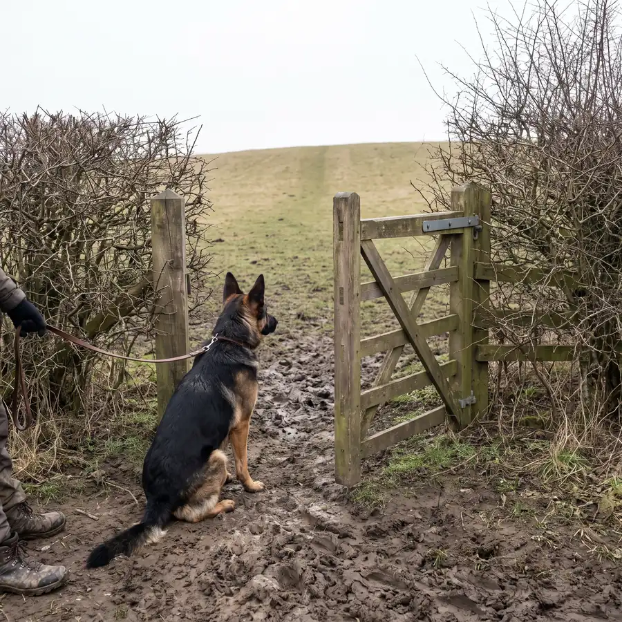
"Is this walk safe for my dog?" is the question no dog walking app can answer, and it is the one every one of them is really being asked. The ground changes week to week. A field is empty on Monday and full of ewes on Friday. A gate is open in March and padlocked in May. An app that says yes is guessing with your dog, so we never say a walk is safe. Not safe, not fine off the lead, not okay for a nervous one. Here is what it does instead, and why the difference is the whole product.
We refuse. We never approve.
There is a difference between refusing a walk and approving one, and the app only ever does the first. It refuses a walk outright, for everybody, when any of five things is true. The walk runs more than 60 metres beside a motorway or trunk road with no pavement or path under it. More than 15 per cent of it is on ground where we hold no right of access. It enters a place a council order bans dogs from, by more than the 25 metres a map can be out. It crosses live-firing military ground. Or it runs too far beside a 50 or 60 mph road with nowhere to step off: more than 60 metres unbroken beside a 60, more than 100 beside a 50, or more than 200 and 400 metres in total.
The numbers
| Beside | Refused past (m) |
|---|---|
| Motorway or trunk road | 60 |
| 60 mph, unbroken | 60 |
| 50 mph, unbroken | 100 |
| 60 mph, in total | 200 |
| 50 mph, in total | 400 |
Those are facts about the walk, measured the same way for every household, and none of them is a matter of taste. A walk that fails one is not shown to anyone.
A walk that passes is not approved. It is a walk we found no reason to refuse, measured against the data we held on the day. That is a much smaller claim, and it is the only one the card makes.
What the card says instead
The card says what was measured. How much of the walk runs beside a road, and how fast that road is. Whether it passes grazing fields. How many stiles. Whether it crosses a protected bird site in the nesting season. Whether a council order puts your dog on a lead along the way. Each fact names where it came from.
And it says what people reported, with a date and a count. When enough walkers have checked in, the line reads like this: "Walkers report weekday mornings stay quiet. Last confirmed 3 days ago (6 check-ins)." A date and a count are things you can weigh for yourself. A green tick is something you have to take on trust, and the person who most needs to weigh it is the one holding the lead of a dog who cannot afford a surprise.
Why it matters more for a nervous dog
For most dogs a bad walk is a bad walk. For a reactive or nervous dog, one lunge at a loose dog on a narrow path, or one bolt at a passing lorry, can set a household back months of work. The claim that is most comfortable to make is the one that costs the most when it is wrong. So the promise on our home page is written as a list of what we will not say, and the first item is that a walk is safe. We cannot know it, and being wrong about it once is not a small mistake.
Where the word crept in, and how we stopped it
We are not immune. On 11 September 2026 a sign-up question in our own app read back a promise to keep a dog called Mitch away from livestock. That is a promise about a field we do not control and cannot check, made at the moment a household is most likely to believe it. Three questions of our own were the same shape. They are gone, and a test now reads every sentence a walker can see, in the app and in these posts, and fails the build on any promise about the ground and on the word itself unless the sentence is saying we will not use it.
What a blank on a map means
On 18 August 2026 a test walker in Harrogate was sent along a 60 mph road on a walk labelled "away from roads". The cause was not a wrong measurement. It was a blank. The server's records of roads covered West Yorkshire alone, and Harrogate is in North Yorkshire, so every lookup there returned nothing and nothing was written down as no road. A blank had been read as good news.
That day produced the rule the app is now built on: a positive finding is always valid, and a negative finding is only valid inside ground we hold data for. We keep registers of where it has looked, council by council and county by county, so that "we found nothing" and "we never looked" can never be the same answer. Where we have not looked, the walk says unknown.
The same rule runs through the small print. A road with no speed limit on the map is treated as a 60, because that is the law for an unlit road with nothing posted. A road where nobody has recorded whether there is a pavement is treated as having none, and the refusal says "pavement not recorded" rather than claiming to know. Unknown is a third answer, and the app is allowed to give it.
Where access is permission, not a right
Some ground you may walk on because the law says so: a public footpath, open access land. Some you may walk on because the owner allows it, which is a different thing. Where a walk is only open because a wood's owner permits it, the card says so, because permission can be withdrawn and a right cannot. Where a walk follows the coast path, the card tells you the path moves when the shore does, so follow the signs on the ground rather than the line on the map. Neither of those is a warning. They are the exact size of what we know.
What you get instead of a promise is the date. Every fact carries who reported it, how many of them, and when it was last checked. Where our data comes from lists every source behind that, with its licence.
Questions this answers
- Does Trekosa say whether a walk is right for my dog?
- It says what was measured and what walkers reported, each with a date, and matches that to what you told it about your dog. It never calls a walk safe, because the ground changes week to week and nobody can know it from a desk.
- What does the app refuse a walk for?
- More than 60 metres beside a motorway or trunk road off a pavement, more than 15 per cent on ground with no right of access, entering a council dog-exclusion zone, crossing live-firing military ground, or running too far beside a 50 or 60 mph road with no pavement.
- What does unknown mean on a walk?
- That we have not looked. A council whose orders we have not read, or a county with no traffic counts, reads as unknown rather than as nothing, because nothing looks like good news and is not.
Read next
- How we knowThirty-six sources: how a walk is checked before you see itEvery source behind a walk and the map you see it on, read from the same list as the app's sources page, with who publishes each and under what licence.
- What makes a walk hardWalking a reactive dog: the first step out of the doorWhat owners of reactive dogs say they need from a walk, in their own words, what the app asks and checks before it suggests one, and what it cannot know.
- What makes a walk hardCows and dogs: why cattle follow a dog, and what to doCattle see a dog as a threat, most of all cows with calves. What the Health and Safety Executive and the Countryside Code say, and what to do if cows charge.