Dog walking in Wales: where you may walk, and how it differs from England
The same Act as England covers Wales, so rights of way and open access land work the same way, but every map is Welsh: Natural Resources Wales publishes the access land, the coast path is a route rather than a right, and we have read the dog orders of all twenty-two of its councils, none yet placed in full on the map.
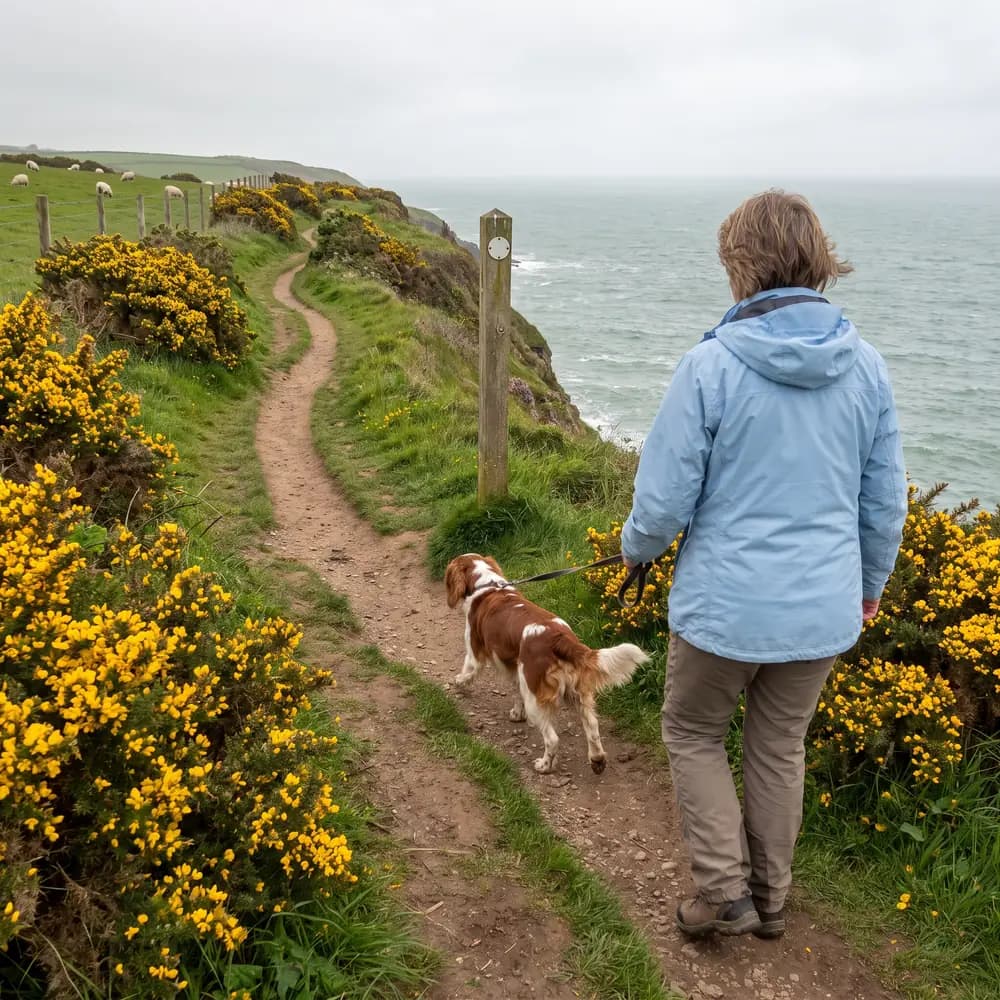
Trekosa works in all of Wales, across its twenty-two council areas. The law on where you may walk there is the same Act as England's, so the shape is familiar: a public right of way, open access land, and permission for everything else. What changes at the border is who publishes each map, and in three places, what the map is able to say. Here is each piece in turn, with what we hold for it and what it does not.
Open access land: a fifth of the country
The Countryside and Rights of Way Act 2000 covers England and Wales. In Wales the land it opens is mapped by Natural Resources Wales, which says that one fifth of Wales is access land where the public have a right of access on foot: open country, which is mountain, moor, heath and downland, together with registered common land and land owners have dedicated. The dog rule is the same as England's: a lead of no more than two metres near livestock at any time, and on all open access land from 1 March to 31 July. Read 26 September 2026. Natural Resources Wales, open access land and Countryside and Rights of Way Act 2000, Schedule 2.
We read five Welsh layers for this, all published by Natural Resources Wales under the Open Government Licence: open country, registered common land, other statutory access land, the public forest estate, and land dedicated by other owners. Together they hold 7,109 areas across Wales, fetched on 5 September 2026. Where a walk crosses one of them it is treated as walkable, exactly as English access land is. Open access, open country, on DataMapWales.
Rights of way
Footpaths and bridleways in Wales are recorded on definitive maps kept by each of the twenty-two councils, as they are by English councils, and we hold all of them. A walk that leaves a right of way, a road the public may walk, and access land is refused before you see it, the same rule as England.
The coast path is a route, not a right
The Wales Coast Path is 870 miles long, opened in May 2012, runs from the outskirts of Chester to Chepstow and is looked after on the ground by 16 councils and two national parks. Read 26 September 2026. Wales Coast Path on DataMapWales.
Here is the first difference. The England Coast Path is a right in law, under the Marine and Coastal Access Act 2009, so we treat the stretches that are not already a right of way as walkable. The Wales Coast Path is a waymarked route put together from existing rights of way and agreements with landowners. Where it follows a right of way the app already holds it. Where it runs by an owner's agreement we do not yet treat it as a right, because it is not one, and a walk that leans on such a stretch may be refused. That under-claims, and we chose it over asserting a right that does not uniformly exist.
Woodland
The second difference. In England we credit Woods For All, the Forestry Commission's map of woodland open to the public, and it stops at the border, because Forestry England does not operate in Wales. Its Welsh counterpart is Natural Resources Wales itself, whose public forest estate is one of the five access layers above, so a walk through a Welsh public forest is treated as access land. Woods owned by the Woodland Trust and the National Trust in Wales are not yet in the app's access map.
Livestock
The third difference. Wales has no crop map. In England a walk knows a field is grassland from the Rural Payments Agency's annual satellite map. In Wales the same question is answered from an older field survey, the Phase 1 habitat survey carried out between 1987 and 1997, so every grazing reading on a Welsh walk is marked low confidence. It still says "livestock possible", because a grassed field in 1995 is very likely a grassed field now, and only a check-in from a walker can clear it.
Council dog orders
The law that lets a council put dogs on leads or keep them out of a park is the Anti-social Behaviour, Crime and Policing Act 2014, which covers England and Wales. We have read the dog orders of all twenty-two Welsh councils, between 1 October 2026 and 14 October 2026: Blaenau Gwent, Bridgend, Caerphilly, Cardiff, Carmarthenshire, Ceredigion, Conwy, Denbighshire, Flintshire, Gwynedd, the Isle of Anglesey, Merthyr Tydfil, Monmouthshire, Neath Port Talbot, Newport, Pembrokeshire, Powys, Rhondda Cynon Taf, Swansea, Torfaen, the Vale of Glamorgan and Wrexham. Twenty-one of them have an order that restricts dogs somewhere we cannot yet place in full, so a walk there says an order applies and that we cannot show where. Powys told us it has no dog order, last confirmed 12 October 2026. We have loaded beach zones for Pembrokeshire and Swansea and zones for the Vale of Glamorgan, and a walk across one will be refused once its county has been measured against them. Where a walk crosses an order we cannot place, the sign at the park gate is the law until we can show where. It is the same job as Yorkshire's, one order at a time.
Protected sites and firing ranges
Natural Resources Wales publishes the protected sites, and we read its Special Protection Areas as bird sites, with the lead line from March to July, exactly as it reads Natural England's. Military live-firing ground is read the same way as in England: a range is credited only when it is named in a Ministry of Defence publication, and a walk across one is refused. All twenty-two areas have been surveyed for one: five hold a credited range, Carmarthenshire, Ceredigion, Monmouthshire, Pembrokeshire and Powys, fourteen hold only small sites such as cadet huts and rifle ranges, and three hold nothing tagged as military at all. Read 26 September 2026, and updated on 9 October 2026 when more ranges were credited.
The numbers
| What was found | Areas |
|---|---|
| A credited range | 5 |
| Small sites only | 14 |
| Nothing tagged | 3 |
Names
About one map feature in fifty in Wales carries a Welsh name in the data we hold. Rather than show a mixture, we show English names for now. That is a gap, and it is written down as one.
Where our data comes from lists every source behind this, with its licence.
Questions this answers
- Can I walk my dog on open access land in Wales?
- Yes, on foot, on the fifth of Wales mapped as access land, with your dog on a lead of two metres or less from 1 March to 31 July and near livestock at any time of year.
- Is the Wales Coast Path a public right of way?
- Not as a whole. It is a waymarked route made from existing rights of way and agreements with landowners, so the app treats the right-of-way stretches as walkable and does not yet credit the stretches that run by permission.
- Does Trekosa know the dog rules for Welsh councils?
- In part. We have read the dog orders of all twenty-two Welsh councils: twenty-one of them restrict dogs somewhere we cannot yet place in full, so a walk there says an order applies and that we cannot show where, and Powys told us it has no dog order. Where we cannot place an order, the sign at the park gate is the law.
The counties this covers
Read next
- The rules of the groundWalking a dog on a public footpath through a farm: what to doYou may walk a dog on a public footpath through a farm. What the Countryside Code asks, the law on bulls and crops, and who to tell if a path is blocked.
- The rules of the groundWhat to do if your dog chases sheepGet your dog back on the lead, tell the farmer and tell the police: 999 if it is still going on, 101 once it is over. Why it matters, and what the law says.
- The rules of the groundPheasant shooting season: what it means on a dog walkPheasants may be shot from 1 October to 1 February. A shoot cannot close a public footpath, but it can close access land for a day. What that means with a dog.